
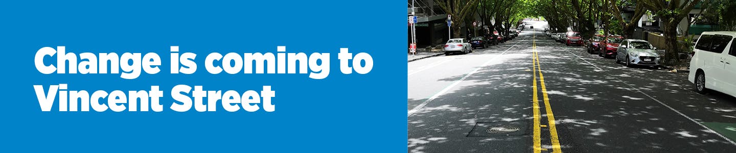
Vincent Street Bus and Cycleway Improvements
Project Update: September 2025
Community Engagement
The comments we received through the community engagement helped us further develop the design for Vincent Street. We listened by hosting two community drop-in sessions at the YMCA, connecting online, and visiting local businesses and stakeholders in person.
What We Heard
We heard a wide range of perspectives—there weren’t any reoccurring strong themes, but every piece of feedback was important to us. While not every suggestion could be included, each comment was thoughtfully reviewed.
Support for the tree-focused design and pleased that no trees will be cut down.
Concerns about driveway access—particularly safety when crossing multiple lanes and possible delays.
Opposition to closing the slip lane for coaches and private vehicles accessing Vincent Street.
Support for buses returning to Vincent Street however some residents are concerned about bus noise, vibration and buses speeding down Vincent Street.
Support for protected bi-directional cycleway however there were some safety concerns for cyclists (coaches crossing the cycle lane to access the coach park outside the Grand Millenium Hotel, travelling fast downhill, visibility of cyclists to drivers). There were some suggestions to relocate the cycle lane to Greys Avenue.
Lack of on-street parking for contractors and visitors (particularly outside Dynasty Gardens) and short-term loading zones for deliveries.
Some expressed doubt about the parking survey results, believing that more locals use on-street parking than indicated.
How the design has changed
We have highlighted the main changes on the design drawings and summarised these in the table below. View the design drawings.
What we heard | What we are doing |
Cycle safety - Coaches crossing the bi-directional cycleway when entering and exiting the coach parking area outside the Grand Millenium Hotel.
|
|
Cycle safety - Concerns about traffic drifting into the bi-directional cycleway as they wait to turn left into Pitt Street from outside the YMCA. |
|
Take cyclists off the bi-directional cycleway before the intersection with Mayoral Drive. |
|
Cycle speeds |
|
Provide better connections for cyclists with existing shared paths |
|
Cyclists and pedestrians' ability to use the closed slip lane instead of the Mayoral Drive intersection.
|
|
Vibration and rattling caused by more buses – the road needs resurfacing. |
|
Loading zones for apartments deliveries are needed. |
|
Safe bus manoeuvring in and out of the Vincent Mini-Mart bus stop. |
|
Include continuity road line markings at Pitt Street intersection to help guide right turning traffic into Vincent Street. |
|
We’ve passed on other comments —such as those about traffic signal phasing and out-of-scope but valuable suggestions —to the appropriate Auckland Transport teams, including Traffic Operations, Active Modes and Enforcement. This ensures your feedback reaches the right people.
Answers to your Concerns
Access to driveways, including safety when crossing multiple lanes and delays
Drivers will need to take extra care when crossing the traffic lanes and bi-directional cycleway to enter or exit driveways, as cyclists will be travelling in both directions. While this may require some adjustment initially, the bi-directional cycleway was chosen as it provides the best outcome to protecting existing trees.
Opposition to closing the slip lane
The slip lane is being closed because this provides the safest outcome for cyclists and pedestrians. Vehicles will still be able to turn left from Mayoral Drive into Vincent Street via the intersection instead. Traffic modelling shows there will only be a short delay for vehicles making this left turn – including coaches accessing the Grand Millenium Hotel.
Bus noise, vibration and speed
Electric buses are quieter than diesel buses. We are aiming for all bus services to and from the city centre to be 100% electric by 2030 and create a transport future for Auckland that is cleaner, quieter, and safer. Just under half the buses on Vincent Street will be electric from Day 1 and this includes weekends and night-time.
We are resurfacing the road which will reduce vibration and rattling. Considerate driver behaviour can help with reducing bus braking noise. Most buses record their speeds and drivers are monitored by their operators. Once the buses return, we will observe the buses, and work with operators to address driver behaviour (speed and braking) if needed.
The need for bus lanes on Vincent Street
The bus lanes near the intersections at both ends of Vincent Street will give buses priority over private vehicles, especially during peak hours. These are essentially queue jump lanes, allowing buses to move ahead of general traffic while still using the general traffic lane for the rest of the street. This approach reduces the need for continuous bus lanes in both directions, and means we don’t have to remove parking on both sides of the road. As a result, buses will be able to travel faster and more reliably through our city.
Safety concerns for cyclists travelling downhill, visibility for drivers and a suggestion to relocate the cycle lane to Greys Avenue.
Cyclists travelling downhill will be travelling at speed making obstacles more dangerous (e.g. potholes), they have more difficulty stopping quickly and have reduced visibility to drivers. The road will be resurfaced removing potholes.
The rationale for upgrading the existing cycleway on Vincent Street is to provide a connection into the planned cycleway network for the city centre. The Vincent Street cycleway will connect to the new Pitt Street cycleway and the Federal Street shared space.
Safety concerns for coaches crossing the bi-directional cycle lane when entering and exiting the coach parking area outside the Grand Millenium Hotel.
An existing cycle lane currently operates next to the coach parking area. An independent safety audit was undertaken and it did not consider the coach parking area to be a high risk. Visibility for coach drivers is good in both directions, and the frequency of coach manoeuvres is relatively low— six to nine coaches a day, based on a March 2025 parking survey. Additionally, the coaches are driven by professional drivers who are trained, experienced and skilled at manoeuvring coaches in the city.
Once the bi-directional cycle lane is in use, we will observe coach access to the hotel’s coach parking area. We hold regular meetings with Bike Auckland and the Bus and Coach Association, which provide opportunities for feedback on how coach parking is working for both coach drivers and cyclists.
Lack of on-street parking for contractors and visitors (particularly outside Dynasty Gardens) and for deliveries
We have looked into converting on-street parking near the Dynasty Gardens into 30-minute parking. However, for safety reasons it wasn’t possible. Contractors and visitors will continue to use the existing on-street paid parking which is largely being retained on this side of the road.
The community expressed doubt about the parking survey results, believing that more local people use on-street parking than indicated.
The parking surveys were carried out by an independent traffic survey company using industry standard methods, and at this stage we do not plan to undertake additional surveys. We will continue to observe parking in the area and welcome any ongoing feedback from the community.
What Happens Next?
We are applying for a Traffic Resolution to make the proposed changes to the road (e.g. new road markings and signs).
Alongside this, there is an opportunity to carry out some maintenance works, such as footpath repairs and renewing small sections of kerb and channel. These will be delivered together with the bus and cycleway project works, which include installing cycle separators, new road markings, signage, and minor kerb works at the corner of Vincent Street and Mayoral Drive.
As part of the programme, Vincent Street will also be resurfaced. We’re aiming to coordinate all our works, so everything happens together - minimising disruption and making sure we only need to be on your street once.
The works are expected to take just over a month to complete and will include a mix of day and night shifts to minimise disruption. Access to your building and business will be maintained throughout via traffic management.
Downer will be carrying out these works on behalf of Auckland Transport, please note that Downer also has resurfacing work planned along Pitt Street. We are planning to start the works along Vincent Street in October and will provide a letter to the community with further details ahead of the works. If you would like to be kept up to date, please email Nathalie.hansellpune@downer.co.nz.
About the project
Auckland Transport is changing Vincent Street to better support people travelling in and around the city centre.
What’s changing?
Buses will recommence running via Vincent Street as they were before they were diverted for the construction of the City Rail Link.
There will be bus priority lanes close to the intersections with Pitt Street and Mayoral Drive.
A protected bi-directional cycle lane on the eastern side of Vincent Street will be installed.
The slip lane from Mayoral Drive into Vincent Street will be closed to vehicles. Left turning vehicles will use the main intersection of Vincent Street and Mayoral Drive.
One lane of general traffic in each direction will remain. Full details of what’s changing is in the table below.
Why are we making these changes?
We’re transforming the city centre to put people first, and create a greener, safer and better-connected city for everyone. City Rail Link, our new underground rail system, will be a game-changer for Auckland, giving thousands of people easier and better access to the city when it opens. We’re timing the changes so we’re ready for the opening of City Rail Link in 2026.
Buses need to be more frequent, more dependable, get people to the city faster, and need to be connected to our new train stations. Vincent Street will be a key corridor for buses entering our city from the northwest and southwest of Auckland. Giving priority to buses is important to enable reliable, high frequency public transport to our city. Creating a more connected city for people on wheels is also a priority.
Vincent Street is an important part of the City Centre Bus Plan that will make bus journeys more efficient and reliable, and the city centre better connected for all Aucklanders no matter how they choose to travel.
The design journey
Space in our city is constrained, and Vincent Street is no exception. Our design has carefully considered the almost 100-year-old London plane trees that give Vincent Street its special character. We will not be significantly trimming or removing these London plane trees.
Our design process has carefully balanced the constraints of Vincent Street (i.e. width of the road, location of trees, parking/loading operations) whilst providing enough space for buses, cycles and cars to all travel safely along Vincent Street. Providing convenient loading zones and on-street parking to meet local community needs was also an important consideration.
Another key design consideration was which side of the road to locate the cycle lane. Moving the cycle lane to the western side of Vincent Street would put buses closer to the eastern side where they would collide with branches of the London plane trees. The trees would require trimming which would reduce the tree canopy. Therefore, the design will accommodate vehicles towards the centre of the road, where they will continue to travel through the tunnel of branches created by the trees, with the improved cycle facilities to be located on the eastern side.
What will Vincent Street look like?
| Now | Proposed |
|---|---|
|
|
|
|
|
|
|
|
The existing coach parking outside the Grand Millenium Hotel and the Police operational parking is planned to be retained. Two general lanes of traffic will also remain. The loading zone outside the Vincent Mini Mart will be moved a short distance to allow for additional bus manoeuvring space. The loading zone outside the Grand Millenium Hotel and 106 Vincent Street is proposed to be removed.
What is happening with the buses?
Buses are returning to Vincent Street after they were diverted to allow for the construction of City Rail Link. Prior to this diversion, between 20 and 50 bus services per hour, depending on time of day, ran in each direction to and from the City Centre via Vincent Street servicing destinations like Westmere, New Lynn, Henderson, and Westgate.
Eight of our existing routes will commence running via Vincent Street all the way to and from Downtown, along Albert Street. These routes connect people with the city from destinations including Massey, Te Atatū, and Westgate (WX1, 11T, and 11W services), New Lynn (195 and 18 services), Titirangi (209 service), Westmere (105 service), and Freemans Bay (106 loop service).
These bus routes currently operate a high frequency service to and from our city, which means there will be the following approximate volume of buses along Vincent Street:
Morning peak: 40 - 45 buses per hour arriving into the city and 20 - 25 buses per hour leaving the city.
Evening peak: 30 – 35 buses per hour leaving the city and 20 - 25 buses per hour arriving into the city.
Other periods: typically, between 15 and 20 buses per hour in both directions.
We will be retaining the bus stop outside K’s Motor Ltd near the intersection with Pitt Street. The bus stop outside the YMCA on Vincent Street will not be retained, however new bus stops have been built just around the corner on Pitt Street.
Mayoral Drive bus stop and shelter reinstatement
The bus stop and shelter facilities on Mayoral Drive that were closed for City Rail Link works are being reinstated, connecting passengers using this route to the new Te Waihorotiu Station once open.
 Buses will return to Pitt, Vincent, Mayoral and Albert Streets after being diverted to Hobson and Queen Streets for the construction of the City Rail Link (CRL)
Better buses for the environment
We’re aiming for all bus services to and from the city centre to be 100% electric by 2030 as part of our Mission Electric to reduce emissions and create a transport future for Auckland that is cleaner, quieter, and safer. When buses start using Vincent Street initially, they will be a mix of electric and diesel vehicles.
What is changing with on-street parking?
We are proposing to remove 24 spaces of the 57 on-street spaces to allow for the cycle lane. The adjacent roads of Greys Avenue and Hobson Street provide on-street parking alternatives, and there are approximately 52,000 car parking spaces available across the city centre both on-street and in public and private car parks.
Our parking study showed that the spaces are on average occupied 70% during the weekday and 90% during the weekend, and the average length of stay is 2 to 2.5 hours. Only 11% of the parked vehicles were registered to an Auckland Central address suggesting low local community demand for these spaces.
Benefits of the project
Reliable, frequent and low emission bus services and safe cycle lanes will provide better access to and around the city centre for people, living, working, studying, and enjoying themselves here.
More travel options through enhanced connectivity with existing cycleways and the new City Rail Link will also help reduce congestion, and create a more accessible, connected, safe and sustainable city.
These facilities will also enable independent mobility for those who can’t, or choose not to drive, along with more travel choices and enhanced safety for those choosing to cycle.
The works
The works are likely to be a “light touch”, involving the removal of old road markings and painting new ones. We will also be installing separators for the cycle lane, signs on the footpath, and undertaking minor kerb works at the corner of Vincent Street and Mayoral Drive.
We anticipate the works will take around one month to complete. We’ll maintain access to your building and business throughout the works through traffic management.
The next time you will hear from us is when we have finalised the detailed design. We will also be in touch before any works start, and again before buses start using Vincent Street.
Ask us a question
Do you have a question about the planned changes to Vincent Street? Ask the team here and we'll respond within 48 hours. If your question would be helpful for others to know, we'll publish the question and answer here.
You must be registered with AT Have Your Say to use this feature, if you're not comfortable registering, email us at atengagement@at.govt.nz or drop in to one of community events and meet the team.
-
Share Is there a plan to extend the new two-way bike lane across Hopetoun St? I use this route often and it is the section along Hopetoun St that is the scary pinch point for cyclists. This has been made worse by the increase in traffic speed back to 50kph from 30kph. Thanks for your work making the city safer for cyclists. on Facebook Share Is there a plan to extend the new two-way bike lane across Hopetoun St? I use this route often and it is the section along Hopetoun St that is the scary pinch point for cyclists. This has been made worse by the increase in traffic speed back to 50kph from 30kph. Thanks for your work making the city safer for cyclists. on X (formerly Twitter) Share Is there a plan to extend the new two-way bike lane across Hopetoun St? I use this route often and it is the section along Hopetoun St that is the scary pinch point for cyclists. This has been made worse by the increase in traffic speed back to 50kph from 30kph. Thanks for your work making the city safer for cyclists. on Linkedin Email Is there a plan to extend the new two-way bike lane across Hopetoun St? I use this route often and it is the section along Hopetoun St that is the scary pinch point for cyclists. This has been made worse by the increase in traffic speed back to 50kph from 30kph. Thanks for your work making the city safer for cyclists. link
Is there a plan to extend the new two-way bike lane across Hopetoun St? I use this route often and it is the section along Hopetoun St that is the scary pinch point for cyclists. This has been made worse by the increase in traffic speed back to 50kph from 30kph. Thanks for your work making the city safer for cyclists.
While at this time there are no plans to extend the cycleway along the route you’ve suggested, your feedback will be passed on to the relevant team within AT to help with future planning.
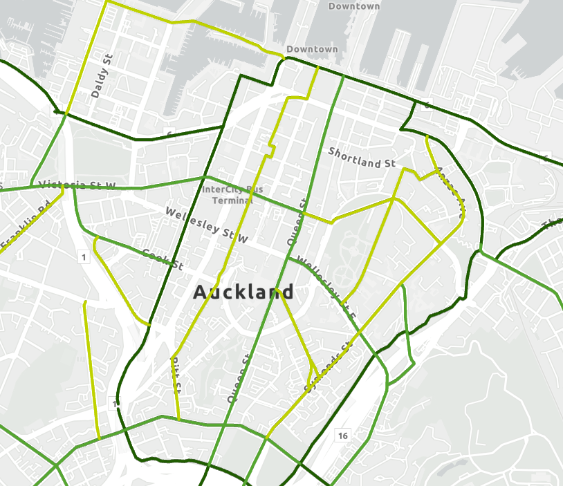
You can find out more about current and future plans for the cycling network via Future Connect.
Future Connect maps the most important network links for all transport modes and has an interactive mapping portal that shows plans for different modes, including cycling and micromobility.
Check out the interactive mapping portal to see current and future plans for the cycling and micromobility network in the city centre Future Connect - Auckland Transport's Network Plan
Documents
-
 Bus route before and after maps (370 KB) (pdf)
-
Vincent Street Improvements A5 Flyer.pdf (316 KB) (pdf)
-
Vincent St design drawings (4.91 MB) (pdf)
-
Vincent Street visualisation (top).pdf (9.2 MB) (pdf)
-
Vincent Street visualisation (end).pdf (9.27 MB) (pdf)
-
Vincent Street updated plans (11.8 MB) (pdf)
-
Vincent Street - Work notification letter Oct 2025 (210 KB) (pdf)
Thank you for your contribution!
Help us reach out to more people in the community
Share this with family and friends