Safe walking & cycling connections around Albany

Share Safe walking & cycling connections around Albany on Facebook Share Safe walking & cycling connections around Albany on Twitter Share Safe walking & cycling connections around Albany on Linkedin Email Safe walking & cycling connections around Albany link

About the project

We’re working to improve safe walking and cycling connections across Tāmaki Makaurau.

Albany’s population is growing. We’re investigating a safe walking and cycling network along Albany Highway, between Bush Road and Sunset Road, and some parts of Goldfinch Rise.

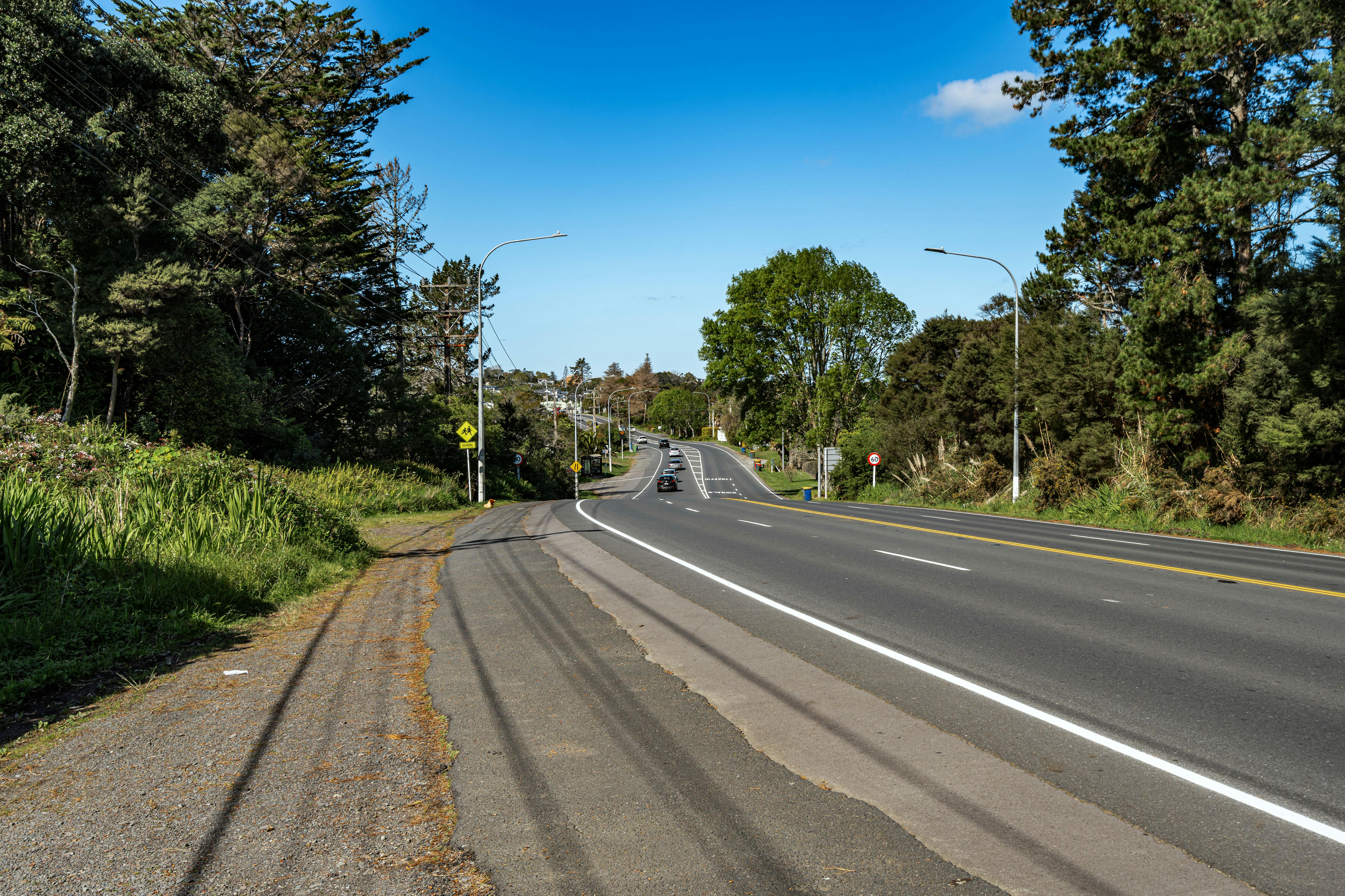
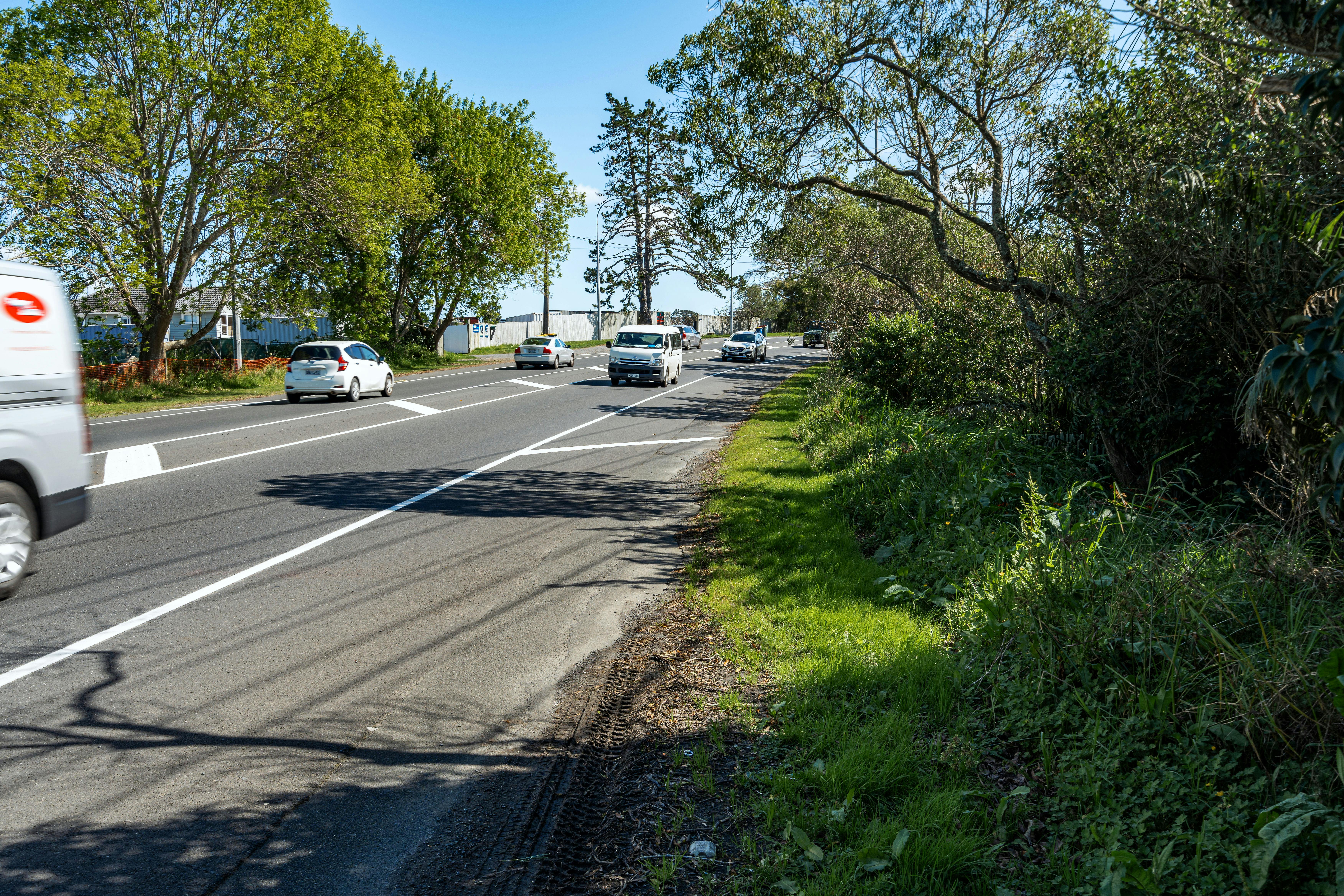
We know parts of Albany Highway have no footpaths on either side of the road, which makes it difficult for people to walk safely locally or to bus stops.

We want you to share your thoughts in our survey below on how you travel in our project area including how we can improve:

  • Footpaths and cycleways options between Bush Road and Sunset Road
  • Crossing options over Albany Highway to make it safer for you to walk in your local area
  • Cycling connections between SH18 cycleway, Glenfield Road and Unsworth REserve

Your local knowledge about how you would like to walk and cycle will help us shape our designs, which can be built over time as funding becomes available

With over 30,000 journeys through Albany Highway daily, residential areas and schools close to the roadway will need improved travel options for locals to make shorter trips on foot.

Albany Highway is in the Upper Harbour Local Board boundary. It connects Albany and Glenfield town centres (via Glenfield Road). The project scope area is between existing walking and cycling facilities near Bush Road and those on Glenfield Road. It may also include walking and cycling improvements on Goldfinch Rise and the top of Unsworth Drive.

Please be aware that funding has not yet been confirmed. We want designs that are fit for purpose for the community, reflecting your needs and concerns for future planning along the route.

PROJECT AREA


Benefits to your community

  • More travel choices around Albany by foot, bike or scooter that are good for you, your whānau and the environment
  • Better connections to existing links to shared paths, cycleways and public transport
  • Easier access to local shops, schools and businesses, boosting the local economy
  • Inclusive designs help everyone- elderly, children, and those with disabilities- get around
  • Improves your health and well-being to enjoy the outdoors in your neighbourhood
  • Safer footpaths and cycleways mean people walking and cycling are separated from traffic and gives tamariki confidence to bike and walk to school


We want to hear from you - you can help shape our designs

While the project area is quite complex, we genuinely want to hear from you with your local knowledge to ensure we deliver something that will support seamless and safe travel choices in your community.

We welcome feedback on the connections specific to your neighbourhood, and you can also provide feedback on the whole network and how it connects for you.

You can influence the following key elements in our investigations that will help shape the final outcome:

  • Crossing locations – Areas where you often need to cross the road and feel unsafe to do so.
  • Shared paths – these are wide paths designed with enough room for people walking and cycling to share.
  • Improving safety – which means separating people on foot and cyclists from the busy main roads. This requires us to clear access and reallocate road space which will remove some on-street parking areas.
  • Wayfinding – if there is a location around the roadway or other areas that you think wayfinding signs should be included.
  • Protected cycle lanes – these are bike lanes separated from traffic by rubber or concrete barriers.


How you can share your thoughts

Complete the online survey by clicking the dark blue "Take Survey" button below, at the bottom of this page.

The form will be open from 18 November to 15 December 2024.


What you need to know

In developing these proposed local connections, the team has kept the following at the forefront:

  • budget constraints and making use of existing infrastructure to ensure cost savings
  • working to ensure walking and cycling connections meet the community transport needs
  • re-purposing existing road space only where necessary
  • deliverability – how easy it is to build.

The result of all these considerations is that the business case for improved connections between Rosedale, Albany Highway and Totara Vale includes the following:

  • establish a footpath in the existing road space
  • shared paths to serve the community needs
  • improved crossing facilities near schools and local shops
  • on-road cycle lanes (protected with a separator)
  • Improvements in traffic calming measures where required on quiet side streets.

How to contact us

If you’d like to speak to someone about our plans, please email us at ATengagement@at.govt.nz

Project background

In 2022, AT introduced the Cycling and Micromobility Programme Business Case (CAM-PBC) as part of its investment strategy to promote cycling and micromobility in the city. Aligned with Auckland's climate goals, the CAM-PBC focused on delivering safe, value for money cycling infrastructure, implementing customer growth initiatives, and promoting policies to increase cycling mode share.

The Walking Programme Business Case (Walking PBC) was also developed to improve walkability and address barriers to walking. The CAM-PBC and Walking PBC are crucial components of Auckland's commitment to sustainability and reducing emissions.

The Albany Highway project was beyond the CAM-PBC’s 10-year - $306 million dollar programme but was brought forward by Auckland Council’s Climate Action Transport Targeted Rate as discussed below.

Future Connect 2023

In 2023, AT published an updated Future Connect programme. Future Connect is the long-term network plan for Auckland’s transport system (2024 to 2034). It identifies the most important parts of the transport network and identifies the most critical issues and opportunities. It supports AT to achieve its 10-year investment programme, the Regional Land Transport Plan (RLTP).

Future Connect has three key outputs. The first key output is the Strategic Networks, which map the most important links for all transport modes. These are the network links that are most critical to the movement of people, goods and services across the region. The Strategic Networks include two time periods (Current and First Decade) and provide a core planning reference for everyone working to improve Auckland’s transport network.

The second key output is the Transport System Analysis, which identifies issues and opportunities expected over the next 10 years. Complex areas with many issues become the last key output Focus Areas and need of further investigation into where investment is needed.

While the project extent is generally lacking in active mode and public transport facilities any investigations will need to consider Future Connect’s aspirations.

The Albany Highway Walking and Cycling Improvements SSBC project has been proposed (SSBC stands for Single-stage Business Case which combines the Indicative and Detailed Business Case stages into one document, streamlining the decision-making process). This SSBC will identify and assess potential improvements to improve walking and cycling infrastructure and increase safety (pending funding). The SSBC will seek opportunities to link to the existing network in Unsworth Heights and Rosedale and Upper Harbour Highway (SH18).

The SSBC is being led by AT and undertaken collaboratively with Auckland Council (AC) and NZ Transport Agency Waka Kotahi (NZTA).

Page last updated: 21 Jan 2025, 03:14 PM